Have you ever had a memory from childhood of a phenomenal vacation spot that stuck in your head, but you couldn’t remember where it was? For almost 40 years this one special spot eluded me.
This is it! On my 2018 vacation to the Porcupine Mountains, we found it. When I was in high school in 1978 my parents took me and my little brother and sister out west. I had always wanted to see the mountains and my dad said it was now or never, because I would be graduating the next year. We headed up the mitten, over the Big Mac and west across the Upper Peninsula, the black hills and then to Yellow Stone. While still in Michigan, we stopped, walked down a trail to a river and crossed a bridge. The power of that river cutting the shale into smooth circles always remained vivid in my mind.

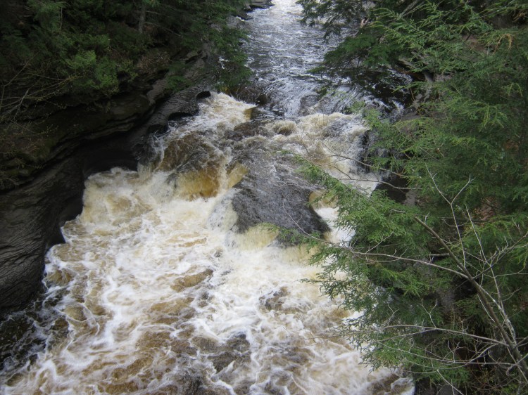
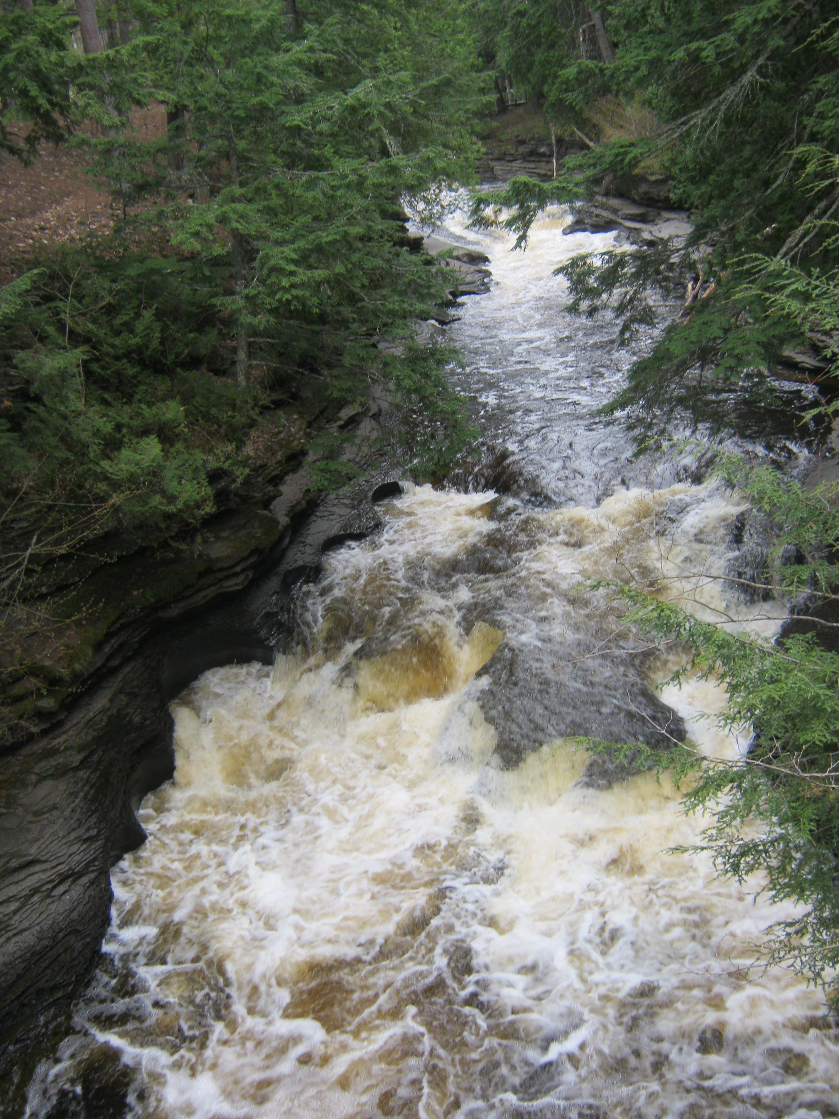
When I crossed that bridge and looked down at this view, I had no doubt this was it! I was so excited to finally find it.
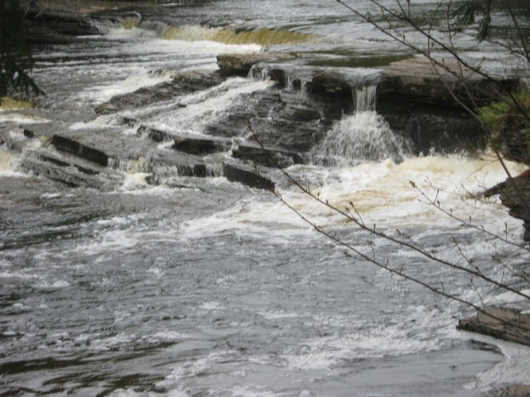
Can you imagine having this roaring below you? What was even more remarkable was the smooth, circular cuts the water made into the shale over the years. It looked polished.
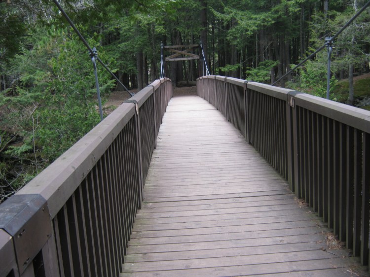
This is the bridge that is there now, but it’s not the bridge I remembered. The one back in 1978 was simpler.

A view from the shore. The circles were so smooth it was like a power tool was used on it, but it was only water that did this.

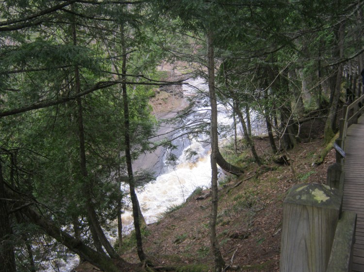
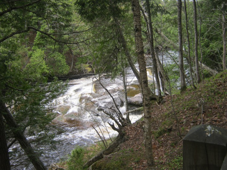
This is the beginning of the path to get back there. It’s not a very far walk but there are lots of steps.
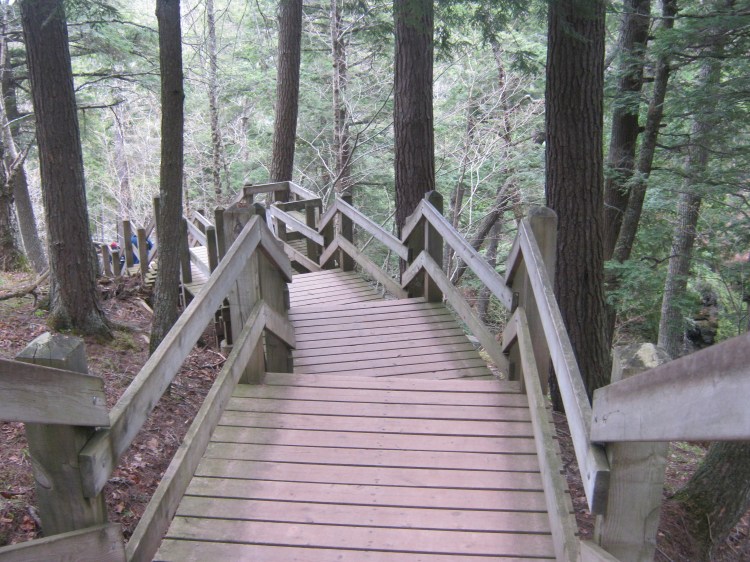
If I remember correctly, this wooden walkway wasn’t there either in 1978; just a rustic old path.

If you turn right before crossing the bridge and head upstream, you will be walking on this boardwalk.
Wow.
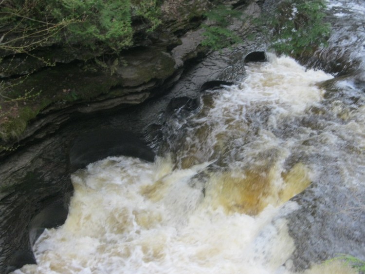
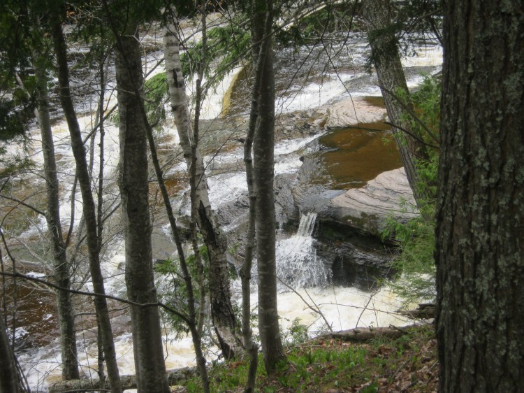
This is a good shot to see the smoothness and shine of the shale in the lower left hand corner.


Remarkable. I don’t have a great memory, but this was 40 years later and the Nonsuch Shale was as impressive as I remembered it. It made such an impression on me that I never forgot this place.
Geesh.

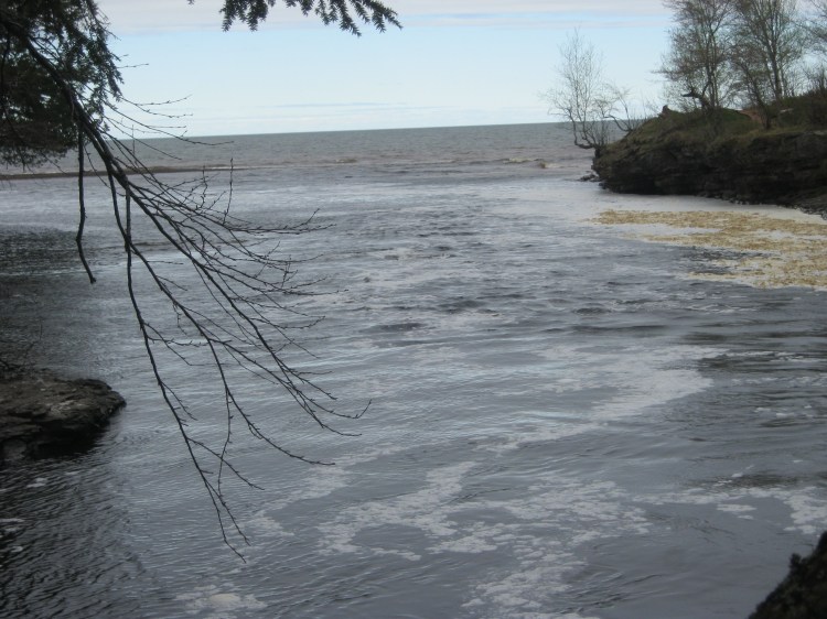
The previous picture was taken shooting upstream from the bridge, but this one was shot looking downstream from the bridge. You can see Lake Superior in the distance.


Lake Superior awaits you!


After you cross the bridge and head downstream, this is the path you will follow.
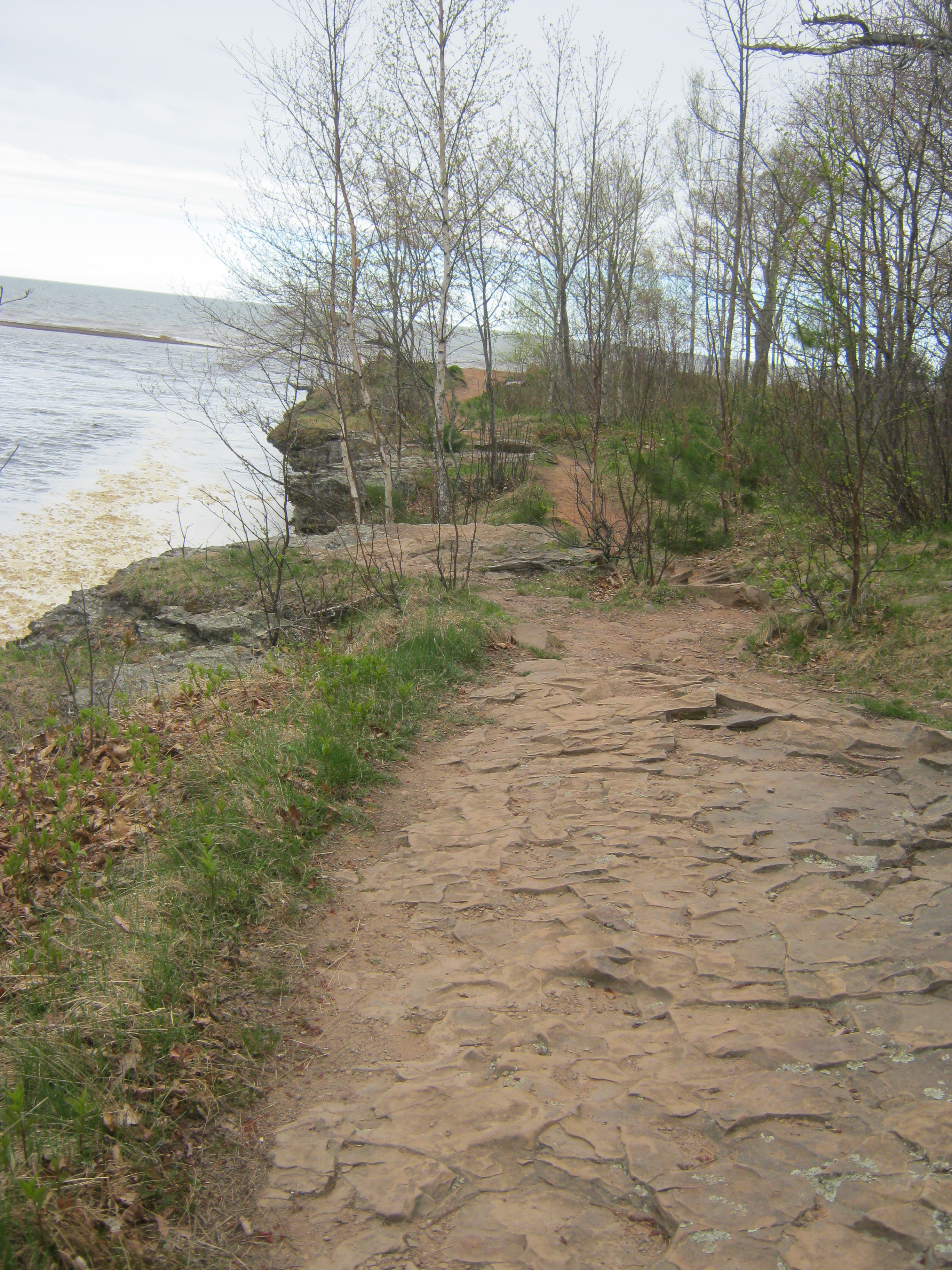


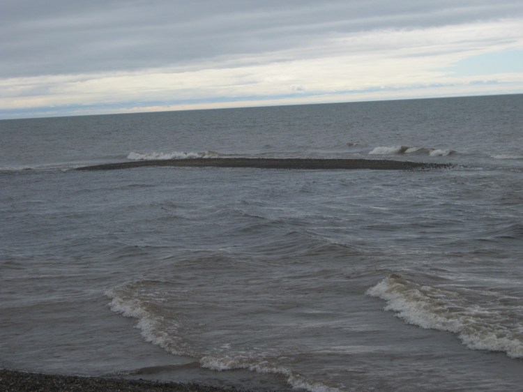
The above four pictures are where the Presque Isle River feeds into Lake Superior. The currents are a-clashing.

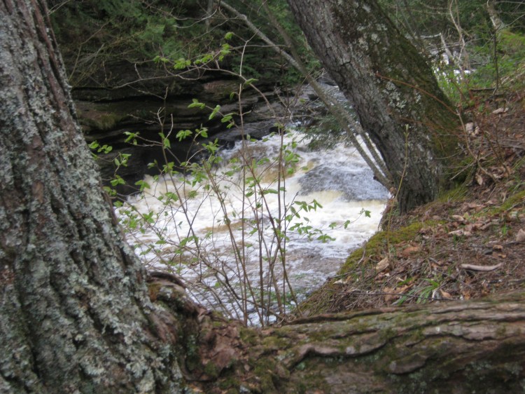
Back to the shales we go.

Sorry about my poor picture-taking here, but this sign gives some good info.
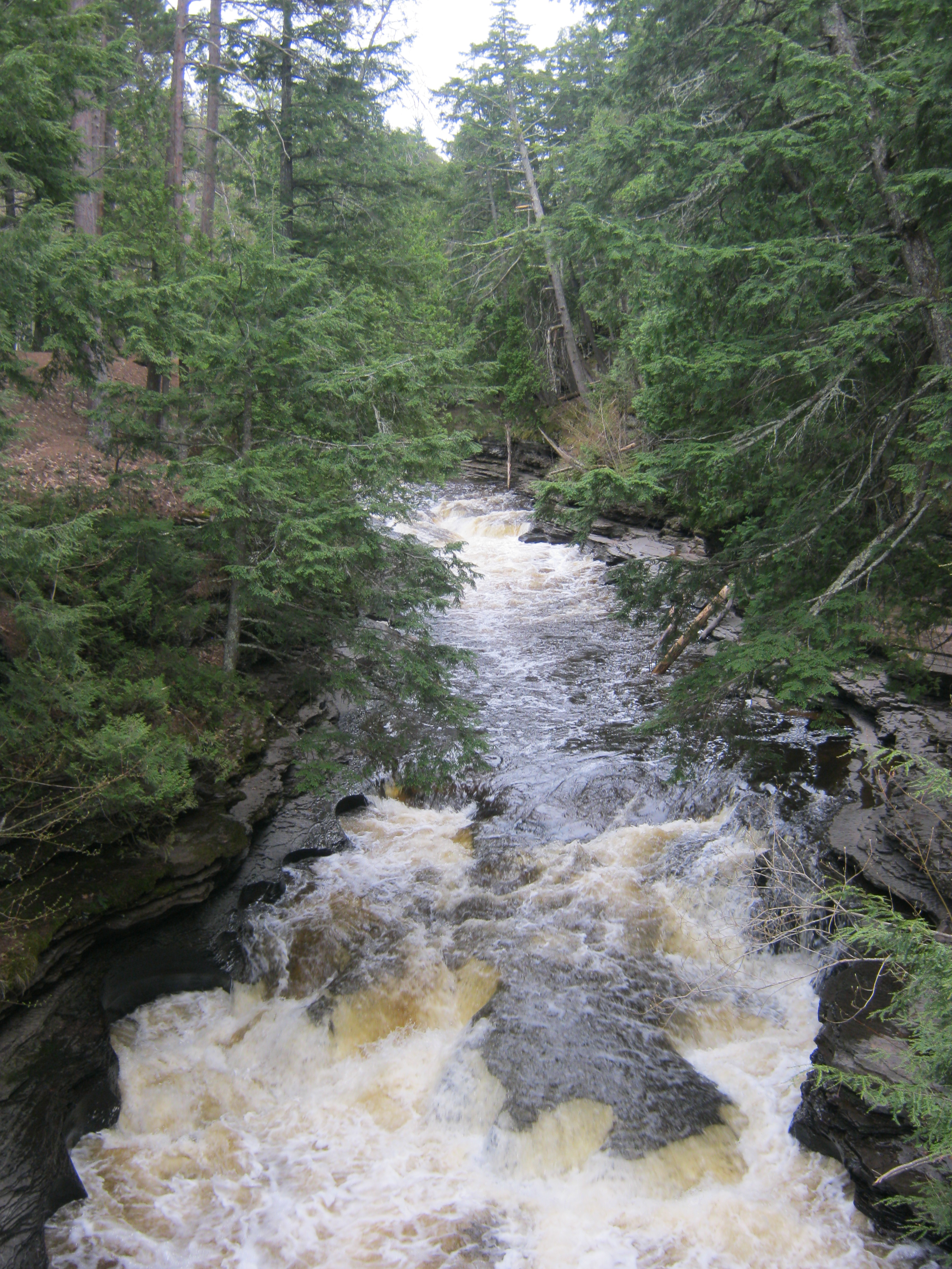
The next pictures were taken heading upstream from the bridge. We followed the boardwalk.


It looks like stairs to a stage.

The view kept changing. If you keep on this path, you will get to Manabezho Falls.


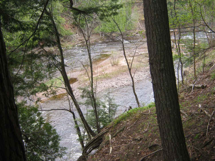
Here I will end with this little sand bar island. On our trip out west we saw amazing sites and some of the best were right here in Michigan. Gotta love it!

What a fantastic hike!!!!!
LikeLike
It was! It brought back childhood memories and it was absolutely beautiful. I checked out your blog. You have a gift for photography. Loved the pictures. I don’t have that gift, but lucky for me most of the places I go to are so gorgeous even I can’t mess the picture up. Have a blessed New Year!
LikeLike