Have you been to Copper Harbor? That is the question we were asked three times last year while we were in the Porcupine Mountains. The Porkies were absolutely beautiful, so that question got us curious. Every time we got asked that question after that, we would crack up laughing. We would get strange looks, so we had to explain. “You’re #5” or “You’re #6!” Then they would laugh. By the end of our trip last year, we had decided that our 2019 trip would be …….. Copper Harbor!
Hunter’s Point. Our trip started September 15th. Copper Harbor is at the tip of the Keewenaw Peninsula that juts way out into Lake Superior. We were told the Keewenaw has its’ own micro-climate. Its’ colors break out just after the rest of the U.P. So, some of the Keewenaw was completely green still and some of it was starting to show off some colors. This area was still green but that didn’t take away from its’ beauty.
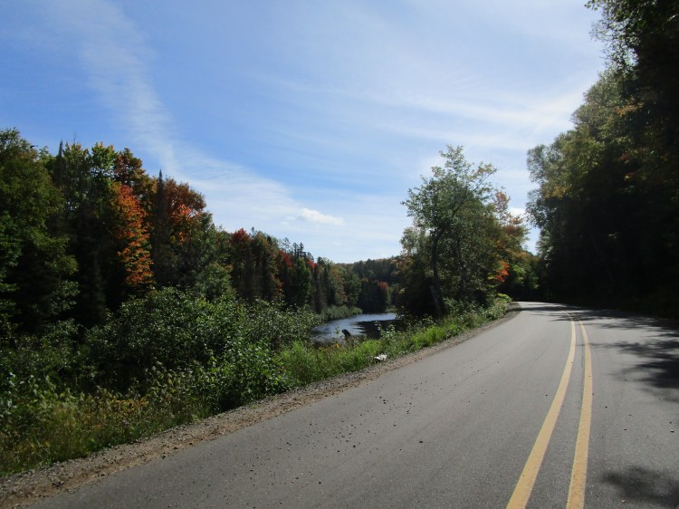
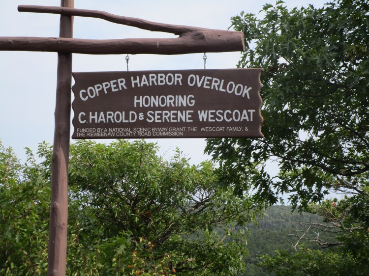
Brockway Mountain Scenic Drive
Brockway Mountain again.
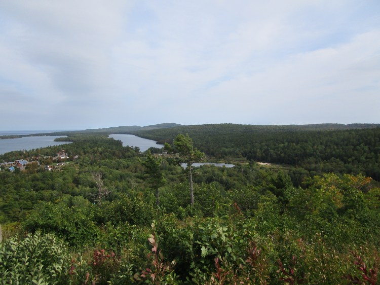
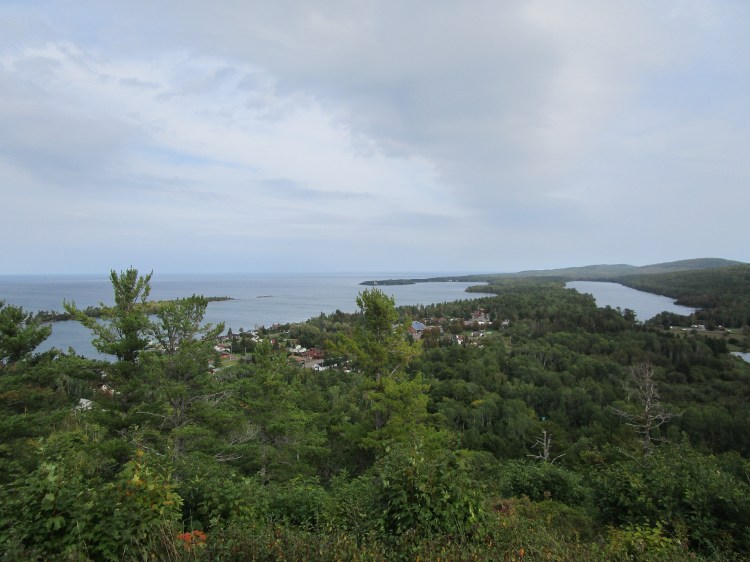
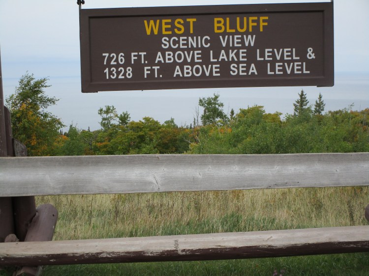
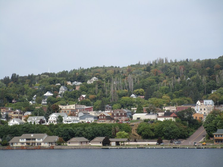
This was taken from a scenic overlook at the start of the Brockway Mountain scenic drive. You can see on the left the town of Copper Harbor. Lake Superior is in the distance. That inland lake is Fanny Hooe.
On our way up to the Keewenaw, we decided to stop at Deb’s property. This is a road near it. Isn’t it gorgeous?
Another shot along the road.
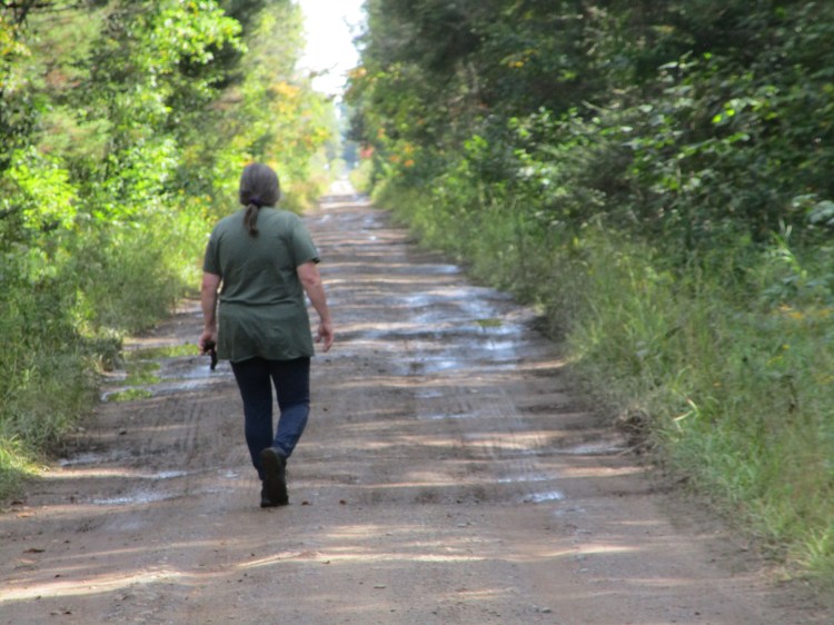
This is Deb eager to see her property. There are bear and even more not-so-friendly cats up there, but luckily we haven’t ran into any yet.
Deb’s property is on her right.
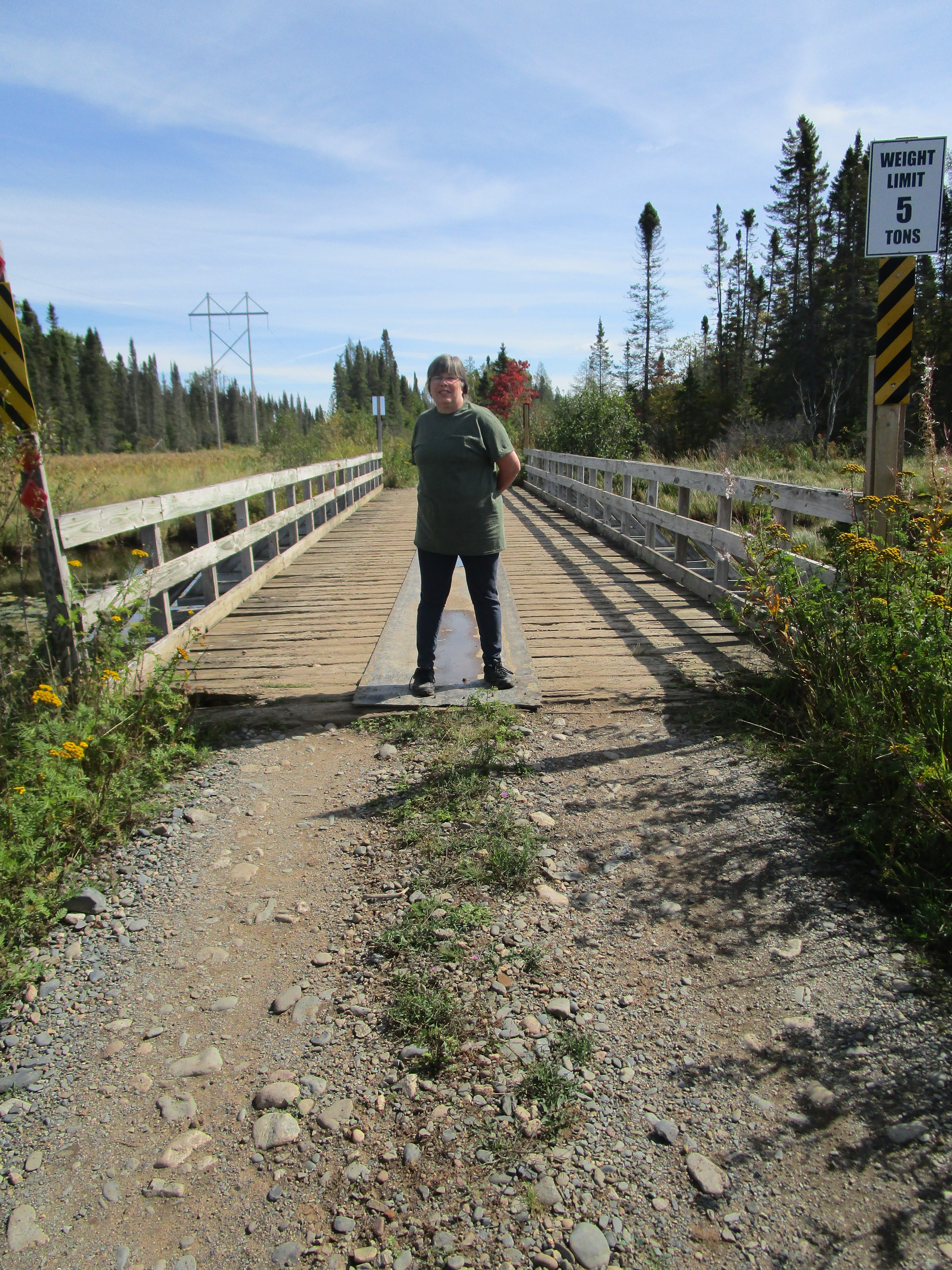
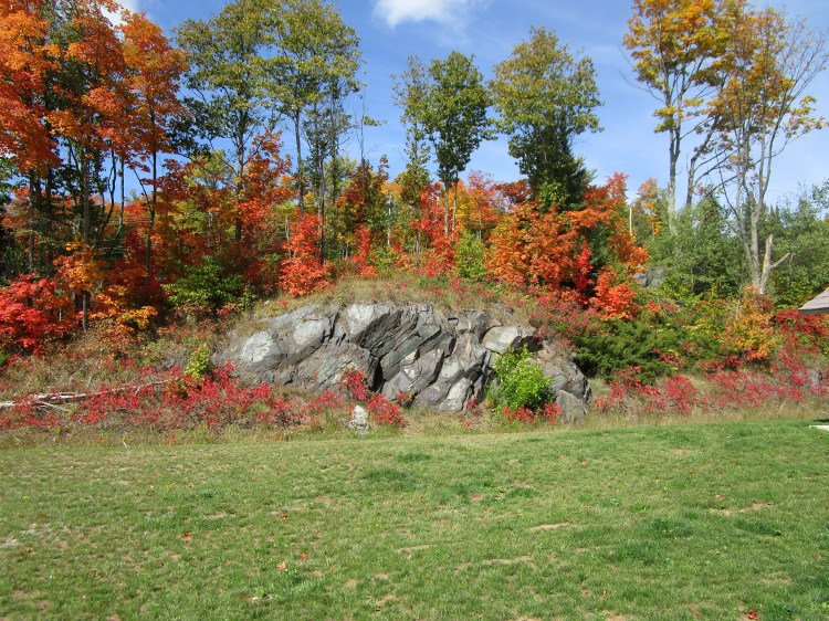
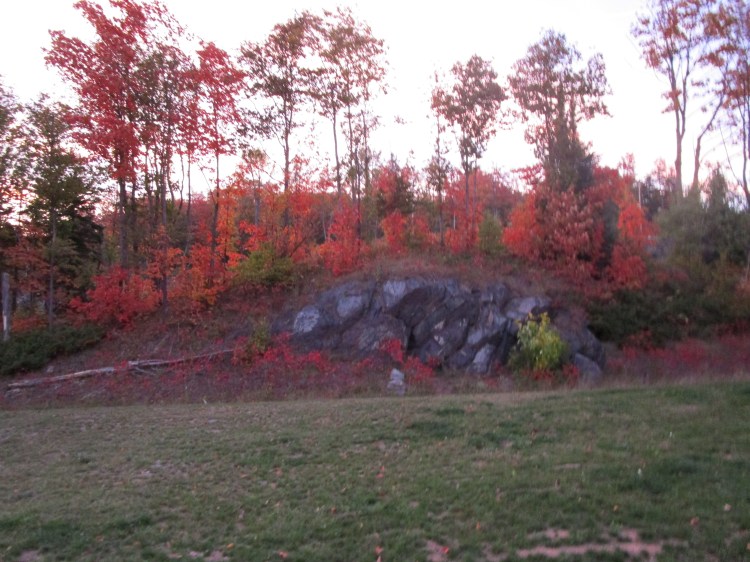
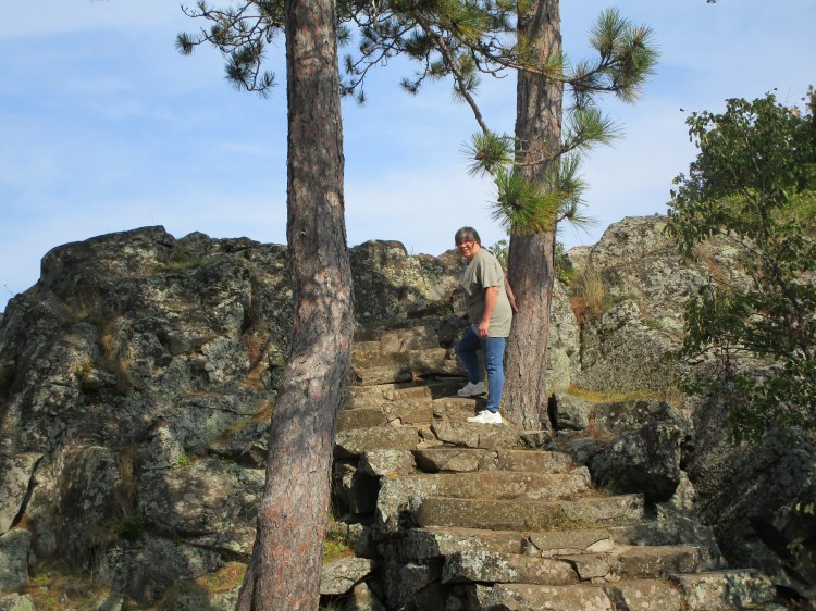
Deb and her brother climbed up a trail that went to the top of that rock wall there. It’s on their property. She said the view up there was amazing.
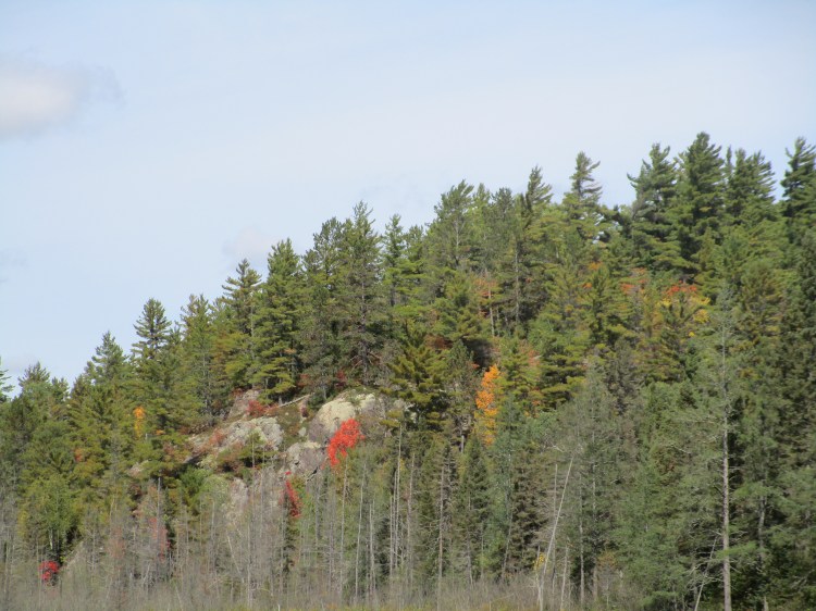
Geesh. The colors were starting to pop here and there.
The above two pictures were shortly after we left her property.
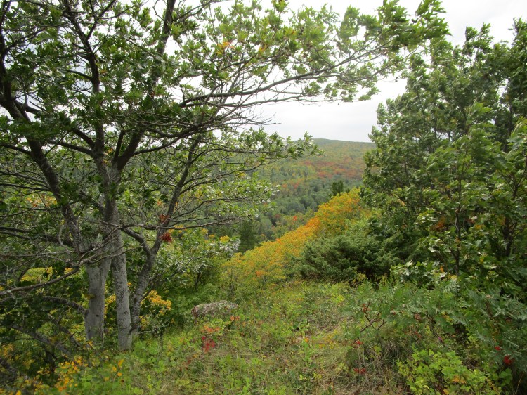
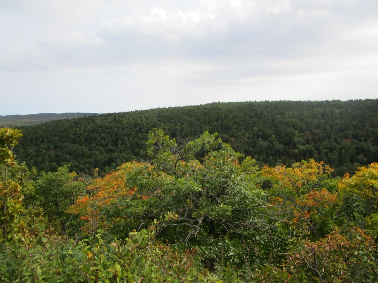
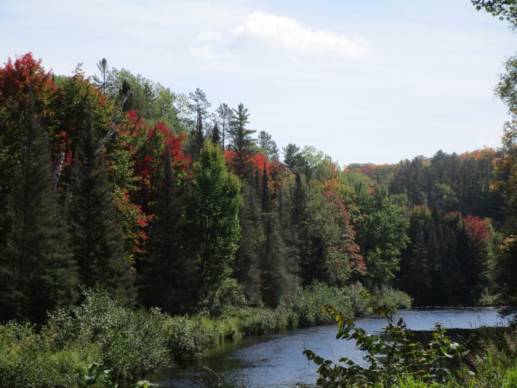
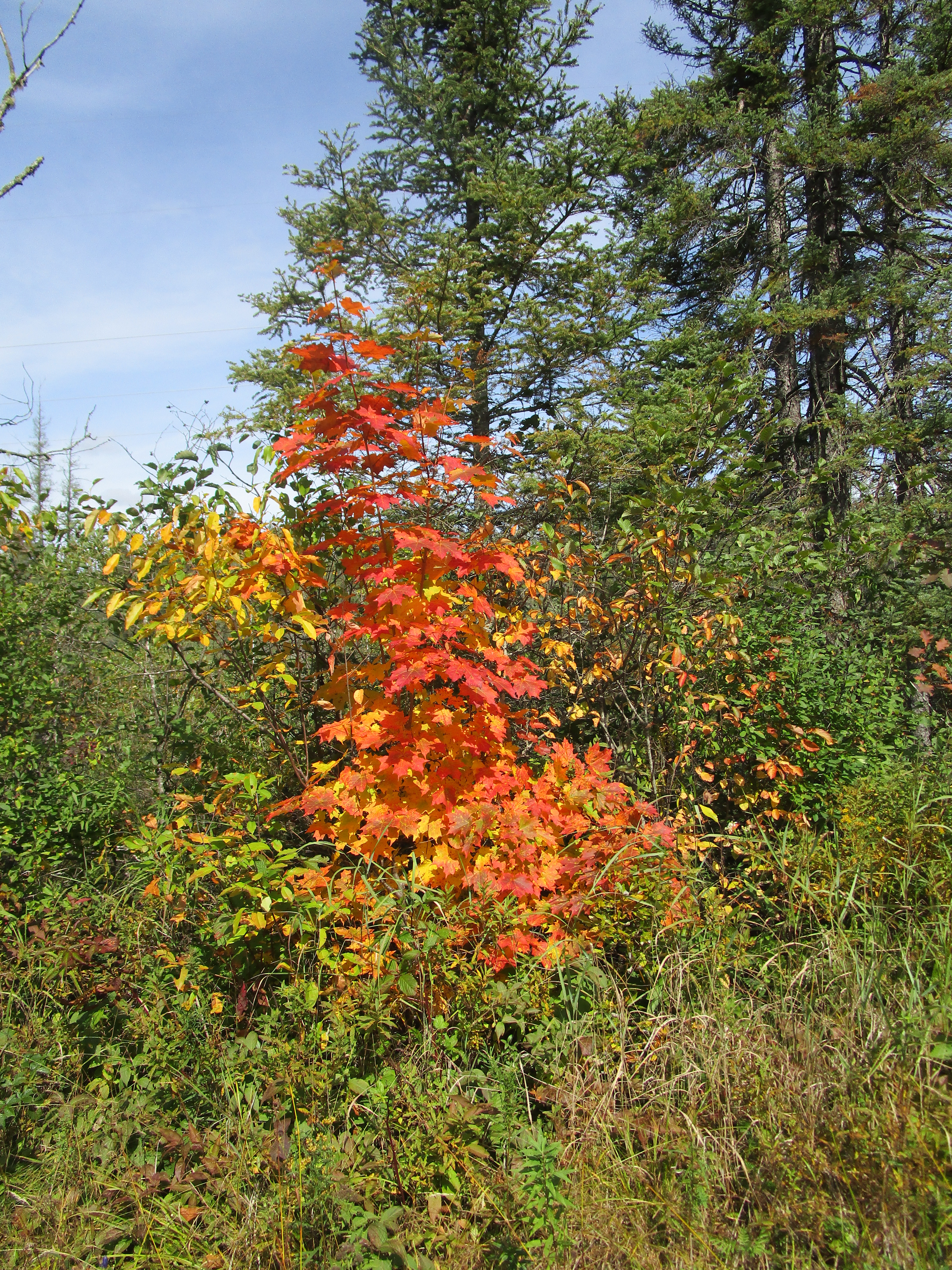
This is a roadside park just below the Keewenaw. The colors were having a riot in that neck of the woods. The road is just on the other side.
The above four pictures are of the same road side park. There are plenty of scenic turn-outs and roadside parks in Michigan; especially along the Great Lakes shoreline and some inland lakes and rivers.
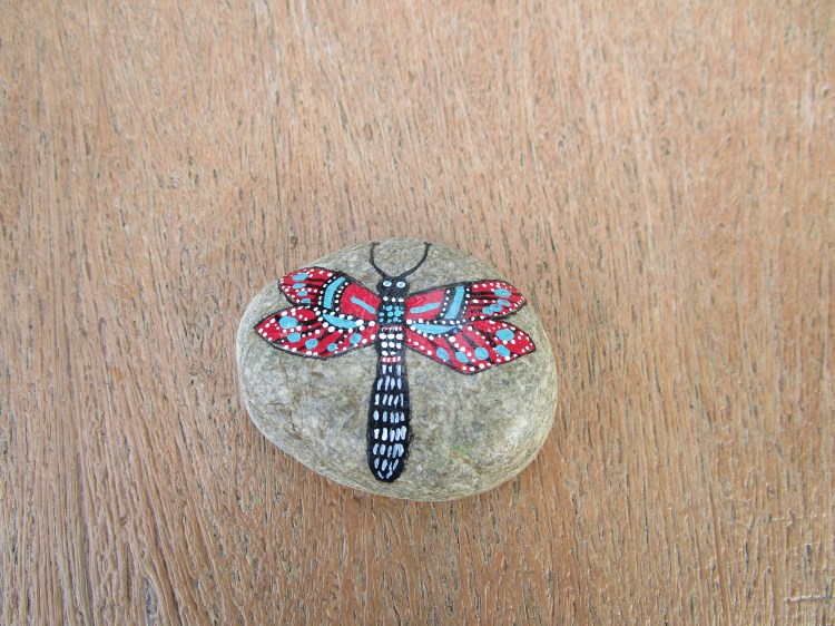
We found this rock on a picnic table at a roadside park. Deb said that a lot of people do that. They paint rocks and leave them in parks. You can pick it up and move it to another park, leave it there or take it home. We left it there for others to enjoy. Love that butterfly!
Update: Deb found a website on this for me. https://www.ilovepaintedrocks.com
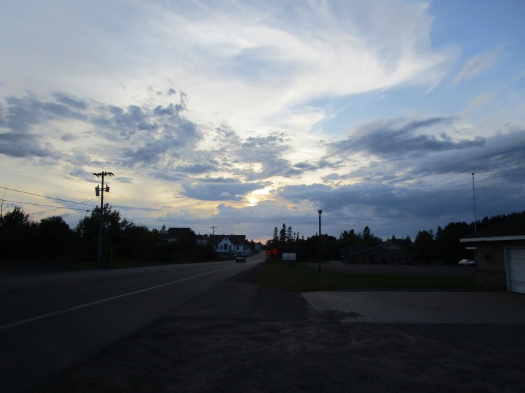
I pulled over to get this picture. It was even more amazing in person. The clouds seemed to roll out forever.
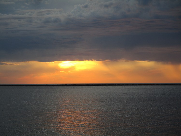
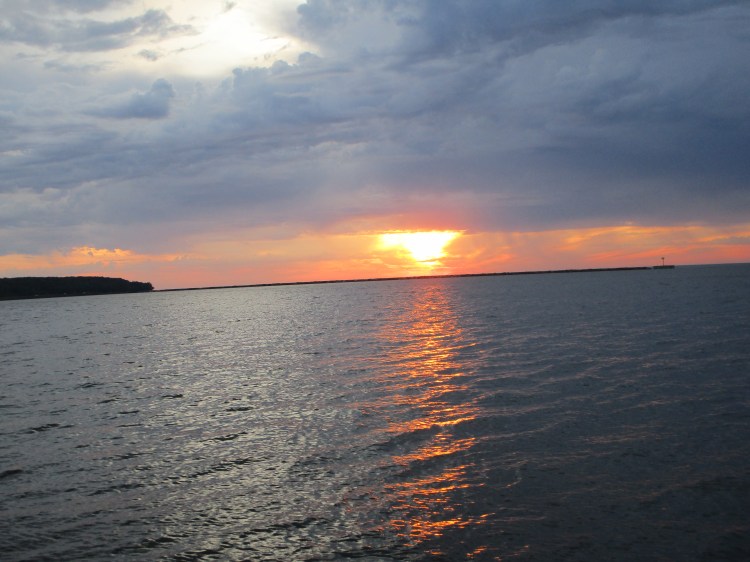
Sunset at McLain State Park
If you’re in a wheelchair and want to see a beautiful sunset, McLain State Park is wheelchair accessible.
.
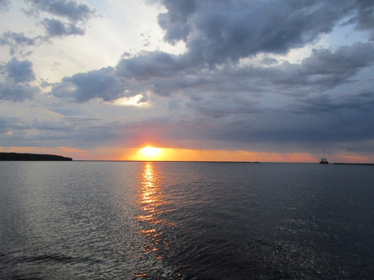
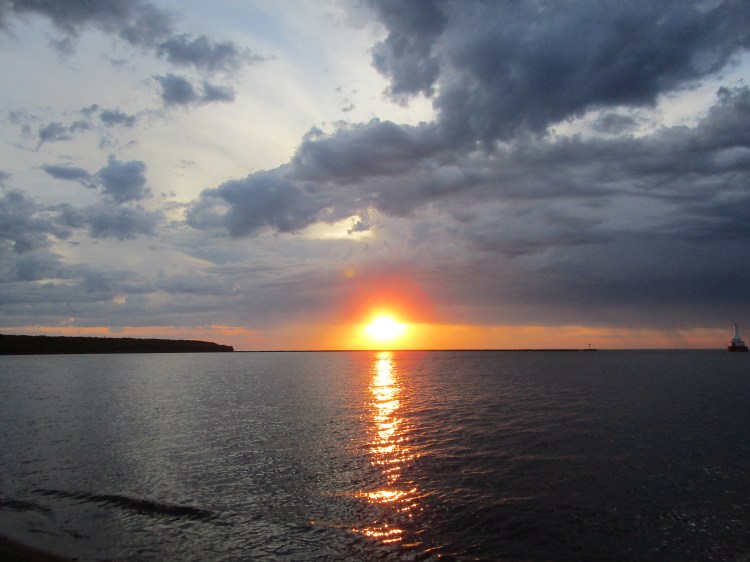
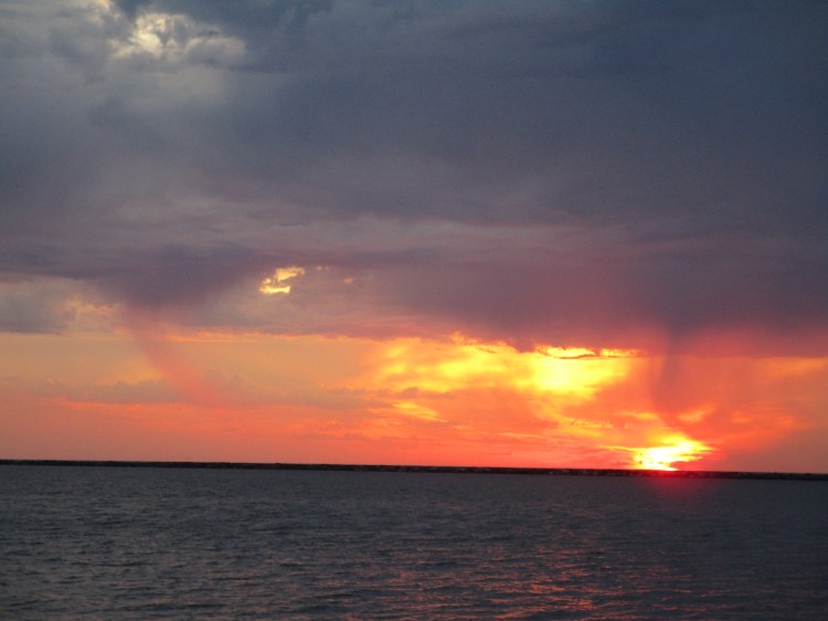
Whenever I zoomed in like this, the picture looked redder. I’m no photographer so I don’t know if it looks redder because it’s closer or if my camera distorts the colors. Either way, it’s beautiful.
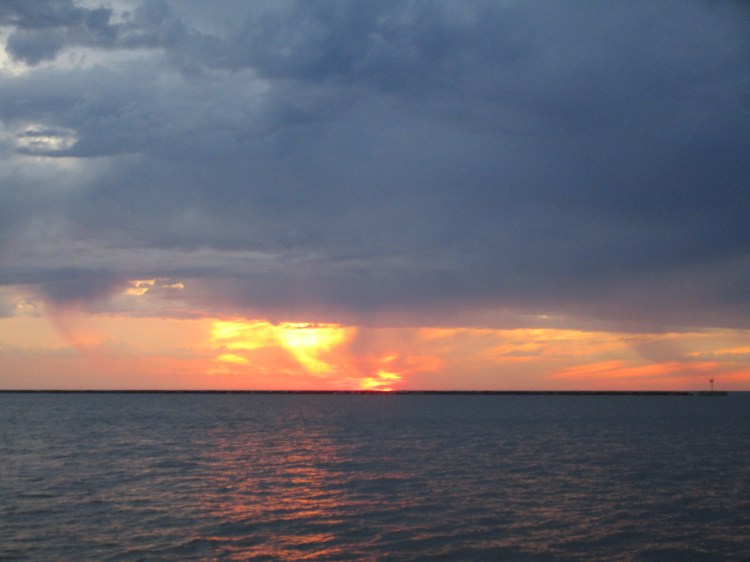

The above pictures are all the same sunset at McLain State Park.
UPDATE: I didn’t notice this until one of my friends, Kim, pointed it out. If you look closely, you will see that the sunset looks like a big ship going across the sky. Amazing.
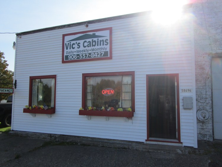
On our first and last night, we stayed in Marquette at Deb’s Mom’s camp. The second and third night we stayed at Vic’s cabins. They were friendly, the cabins were clean, the beds comfortable and the prices affordable. It’s also centrally located in the Keewenaw. Can’t beat that!
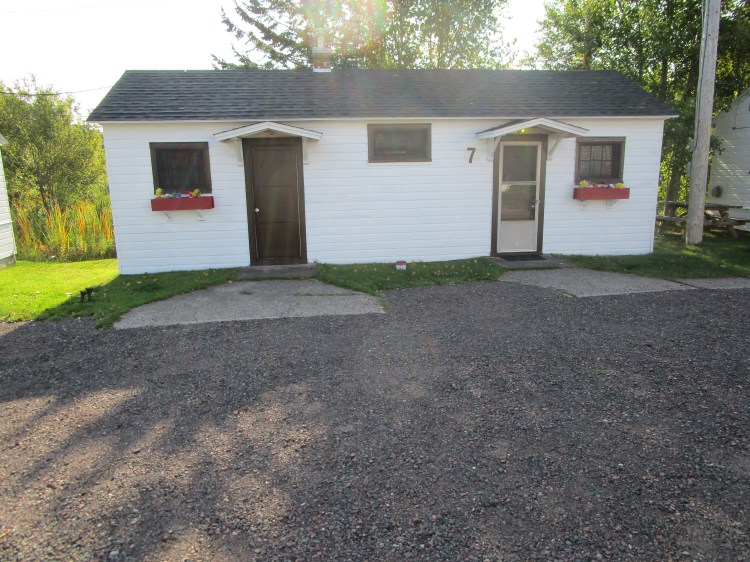
The owner said in the winter the snow gets up to the roof. There’s no where to put all that snow, so they close in the winter.
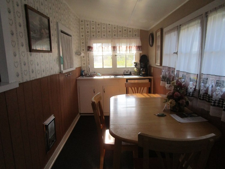
This is the kitchenette. We had a stove, sink, little refrigerator and a microwave. My roughing-it days are over!
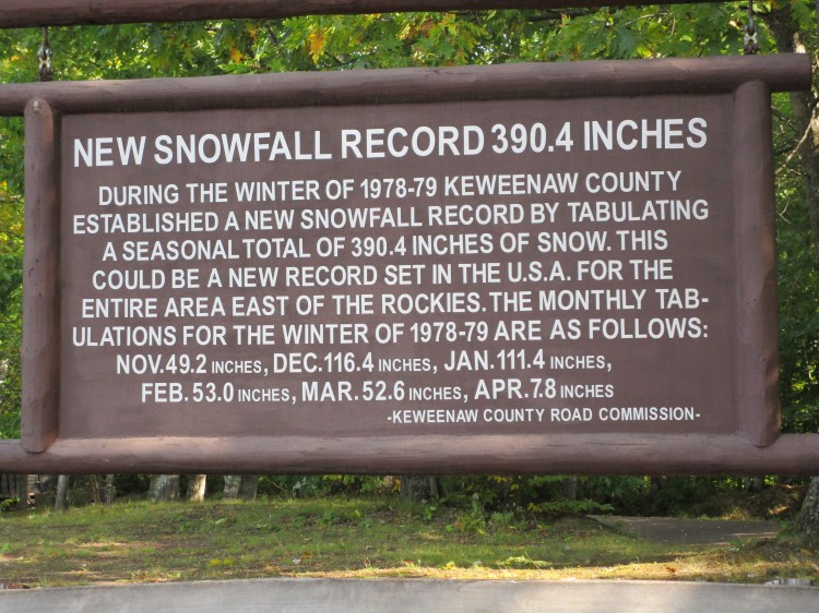
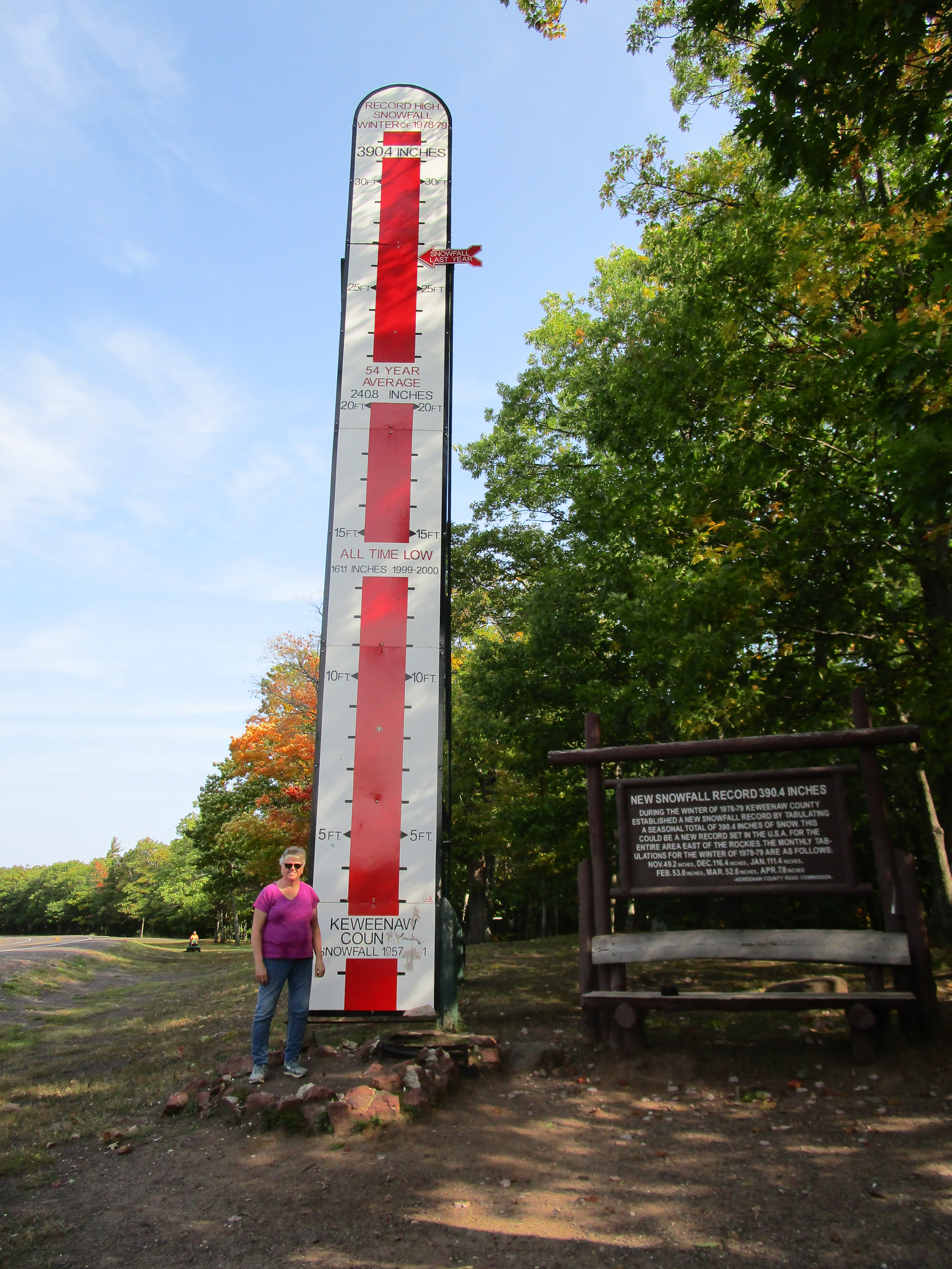
Wow. Where that arrow is, is the total of snowfall for that winter. (1978-1979) The Yoopers are resilient people to tough out those harsh winters!
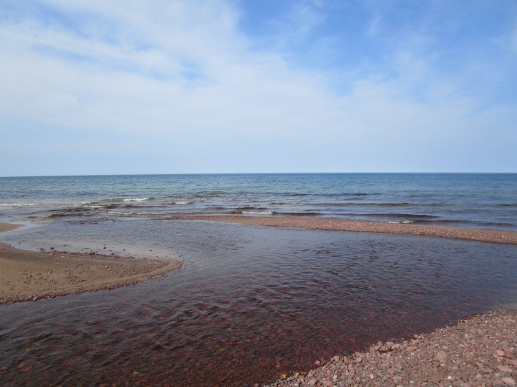
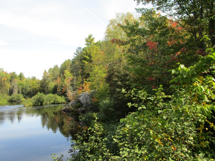
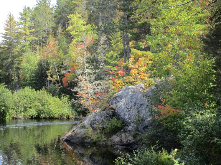
This is where Eagle River says hello to Lake Superior.
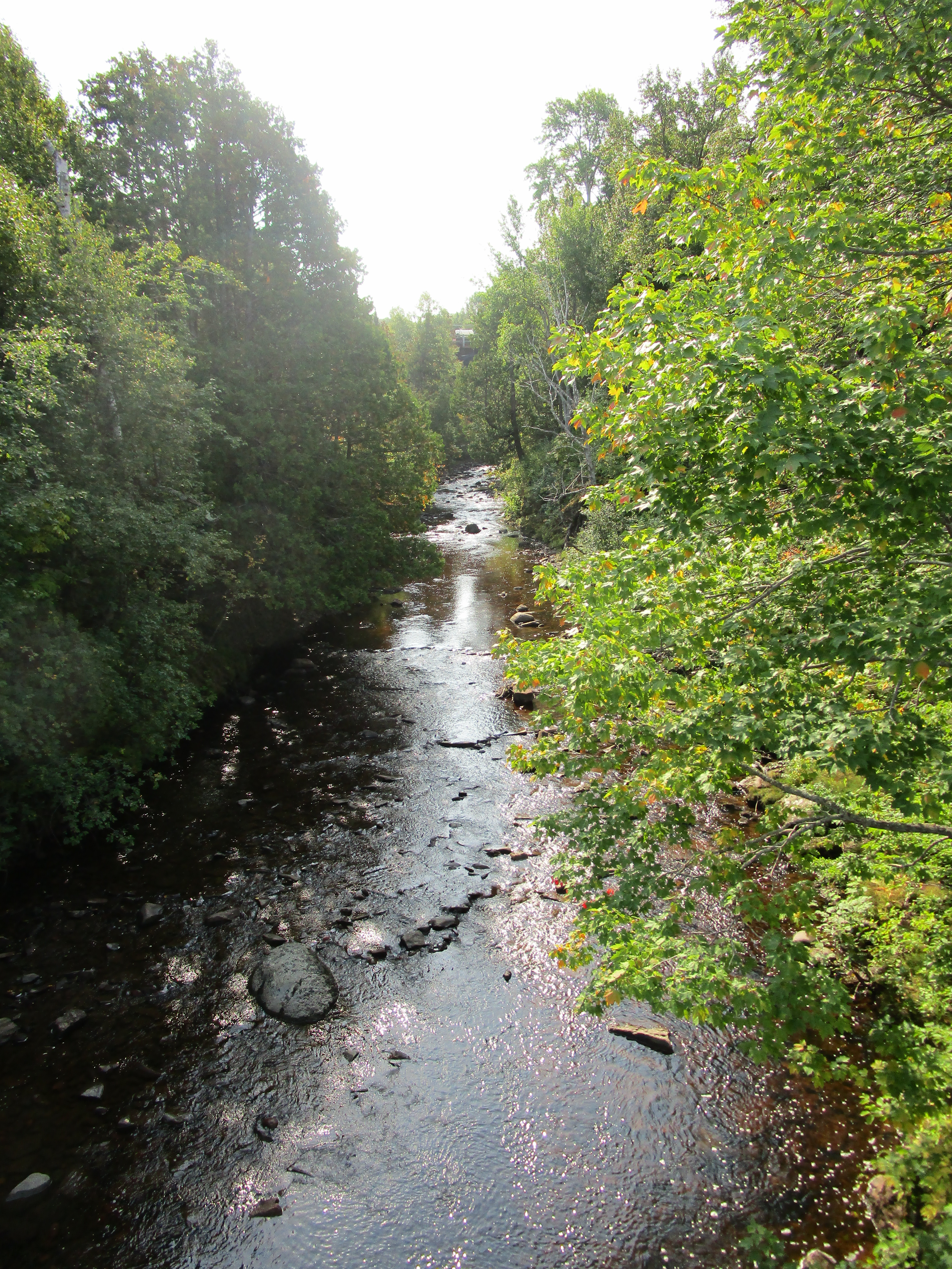
Eagle River
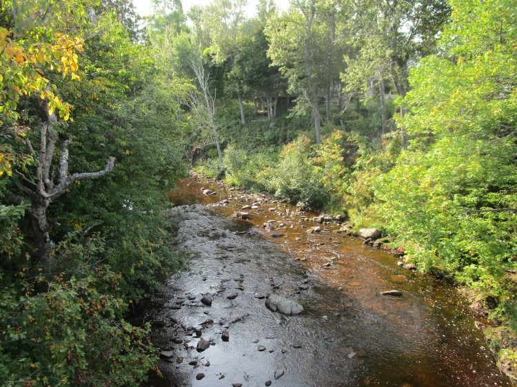
Eagle River
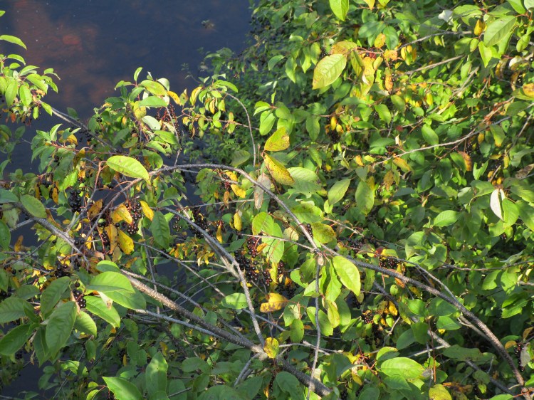
The Eagle River is berry nice.
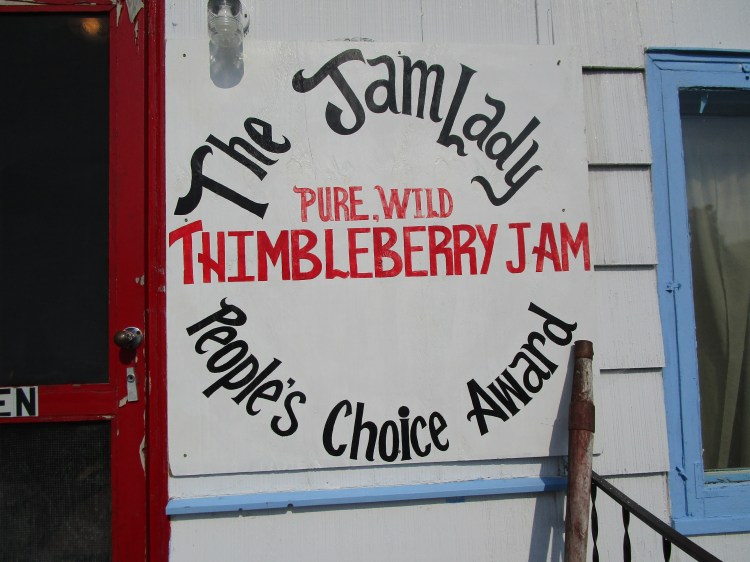
Thimbleberries is a regional thing. I read that they only grow in Canada and a few northern states. The Jam Lady and The Jam Pot have Thimbleberry jam. We had to check both out. The Jam Lady is open 24/7. Can’t beat those hours!
Deb and I tried the jam and loved it. It was similar to Raspberry but there definitely was a different taste to it. You have to try it if you’re in the area.
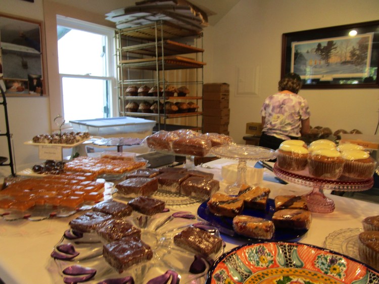
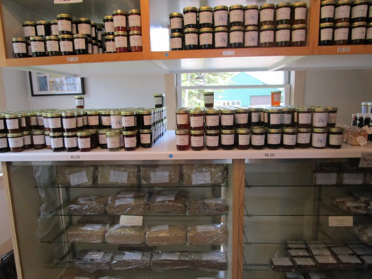
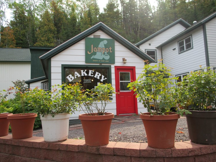
The above three pictures are of The Jam Pot. Their prices are a little higher, but their bakery and selection are amazing. I suggest you visit both. We did!
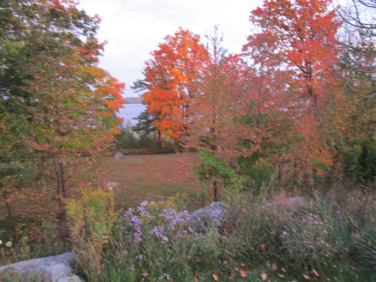
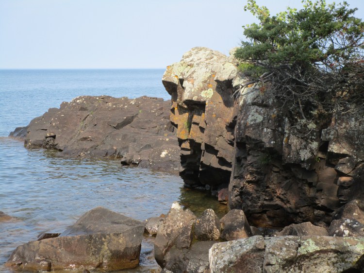
This picture and the next ones are of another road side park that we loved.
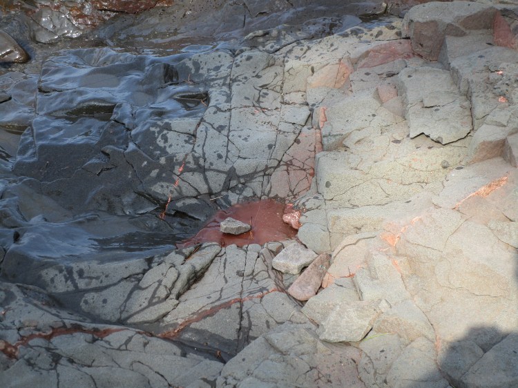
Some of the rock formations and colors were interesting.
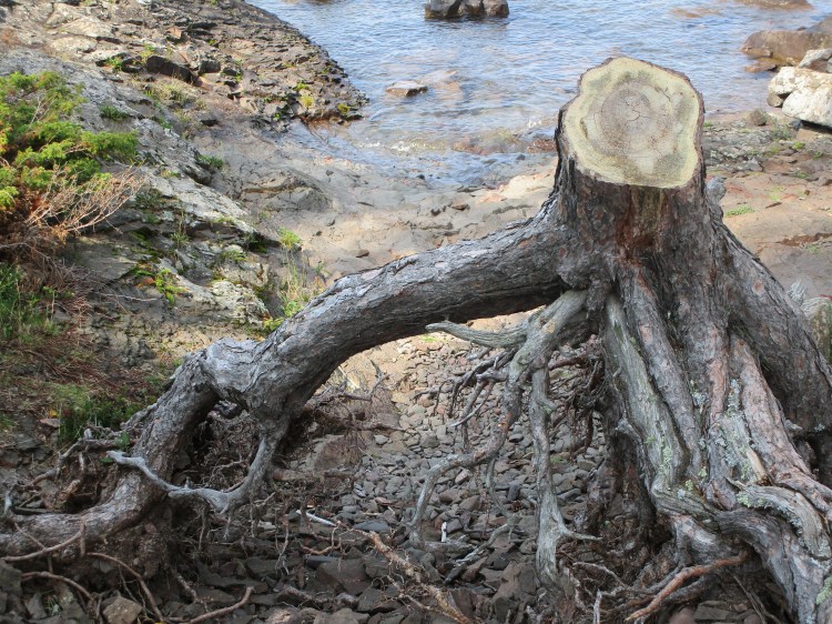
I don’t know why I like that tree stump and its’ roots, but I do.
Deb! Wait for me!
Ahhhh.

There’s two benches in there for shade, shelter and an awesome view.
That’s the last picture for that road side park.
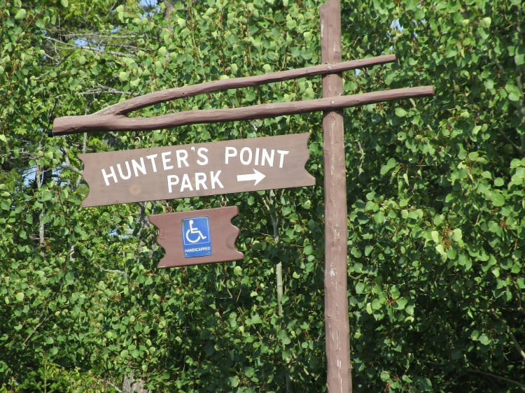
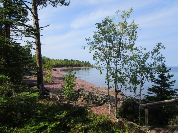
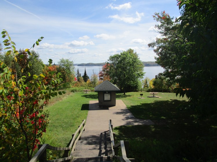
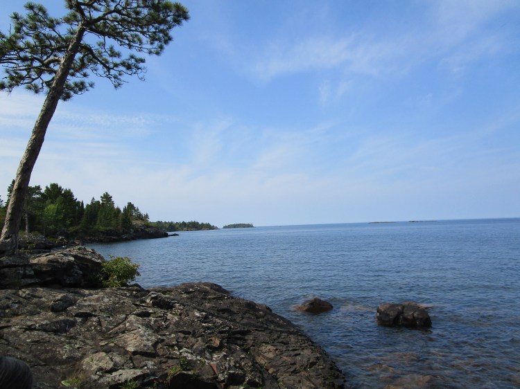
Hunter’s Point Park is wheel chair accessible!

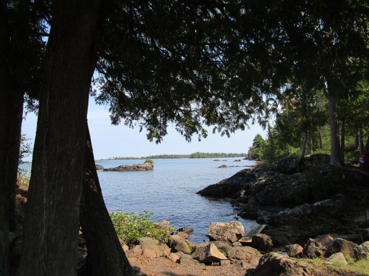
Hunter’s Point Park Beach.
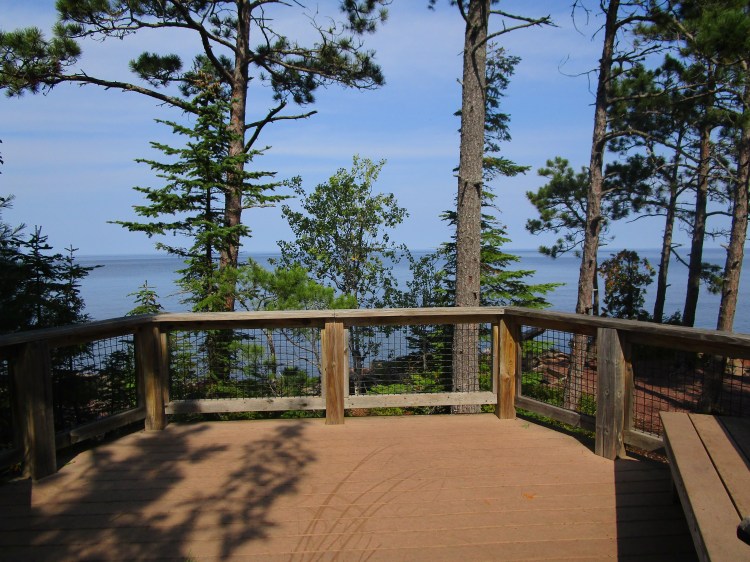
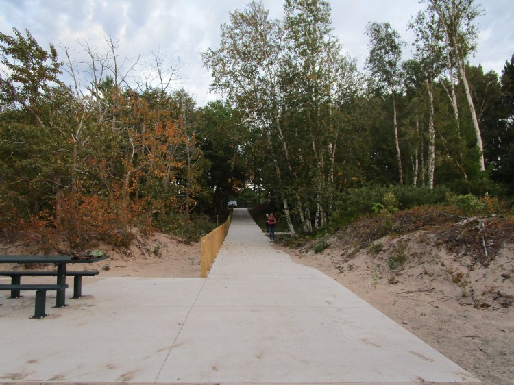
This is the viewing deck for Hunter’s Point.

At the end of this walk way is the viewing deck. Gotta love it!
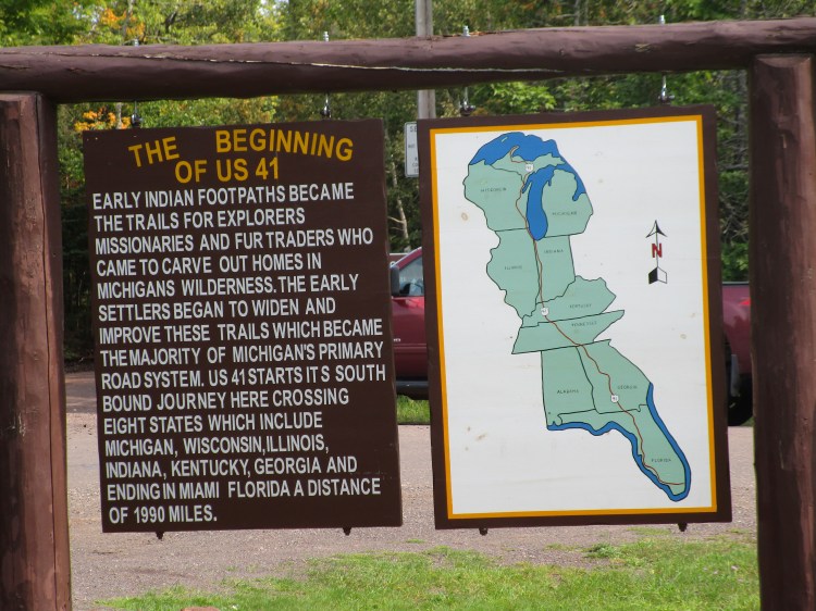
US 41 begins up at Copper Harbor, goes down through Wisconsin and doesn’t stop until Florida. If you don’t like express ways, here’s another option.
Fanny Hooe!
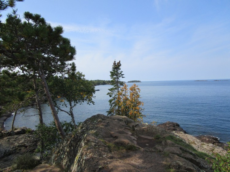
I had to include Lake Fanny Hooe because she’s up at Copper Harbor and most of this lake has nothing but trees surrounding it right up to the shoreline; such a nice, peaceful view.

I guess this guy thinks there’s fish out there.
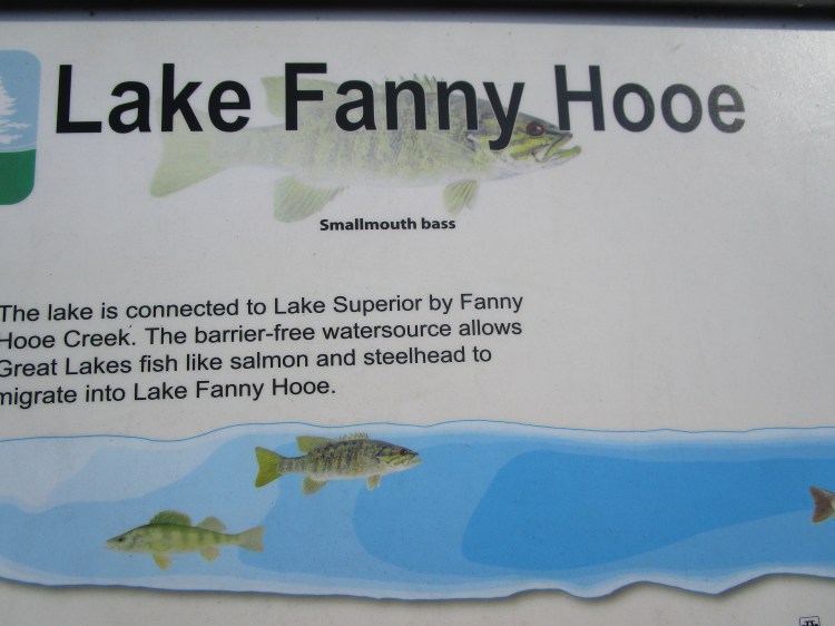
This sign says there’s fish out there too. Fishermen and Fisherwomen! Check out this lake!
The town of Copper Harbor with a Superior Lake out beyond it.
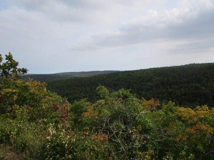
Brockway Mountain. I took a ton of pictures on this scenic drive so I will have to do a post in the near future of just that drive alone.
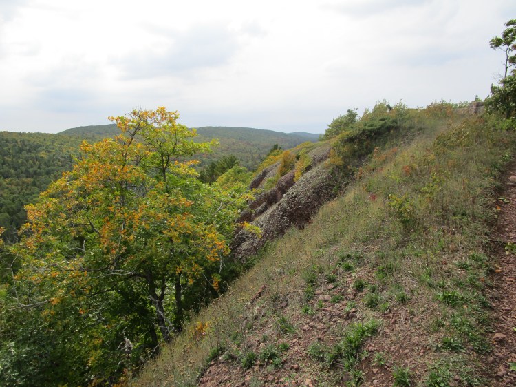

The above four pictures are Brockway Mountain.

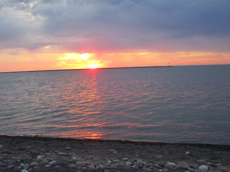
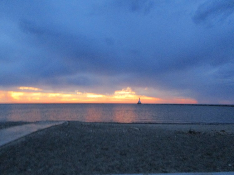
We wanted to see the sun set at a different location on our third night of our trip, but it just worked out that we were near the same beach at that time. It’s a beautiful beach, so I was able to live with that.

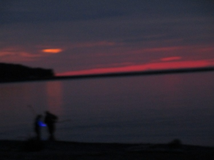
This couple had rubber boots or waders on and they were looking for something along the shore with that blue light. Does anyone know what they were looking for? Just curious.
Update: Again, Deb helped me out. They’re looking for “Yooperlites.” They’re rocks that glow under an ultraviolet light.
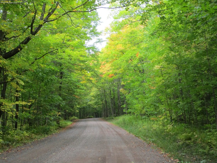
This covered road starts west of Houghton and heads out towards Freda’s Ruins.
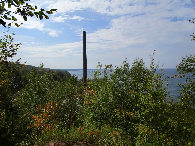
Freda’s Ruins
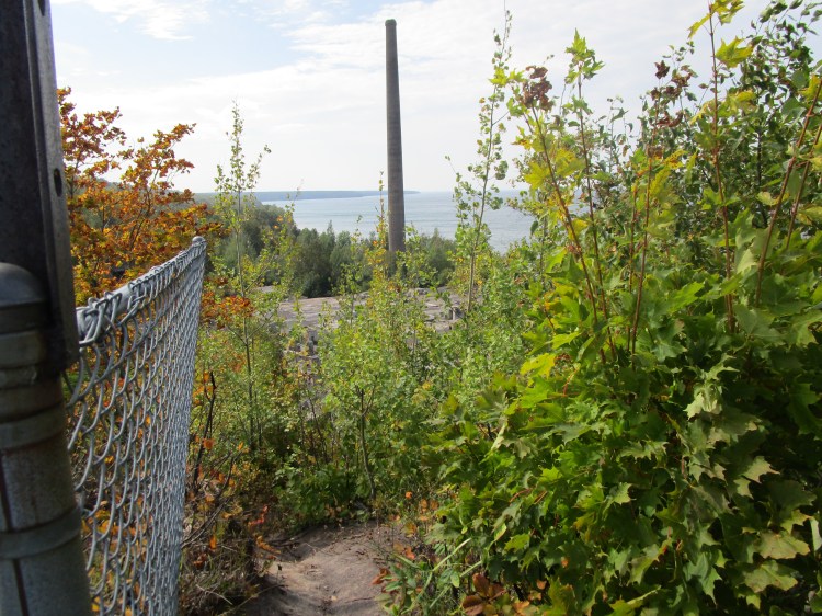
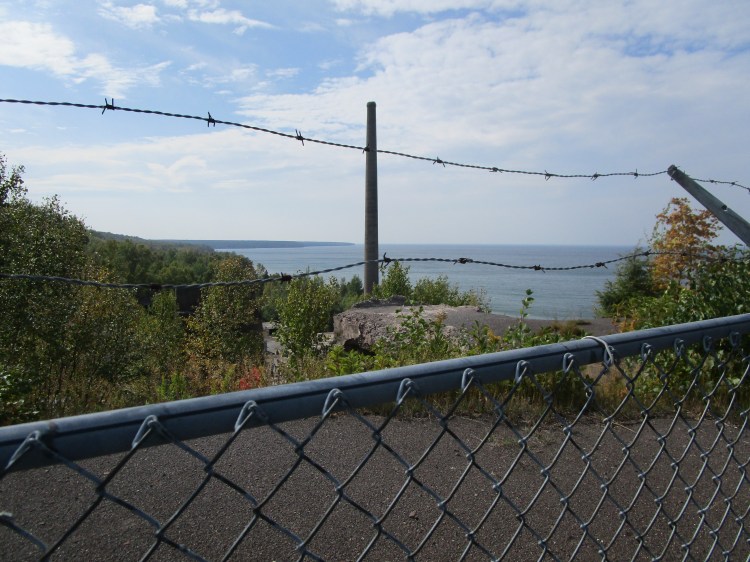
The above three pictures are of Freda’s Ruins. It’s an old mining area. I think it closed down decades ago. Looks like that area isn’t very safe. They want you to stay away anyways.

The covered road looks good in green and I’m sure in a couple of weeks it will be sporting brilliant colors and be even more amazing.
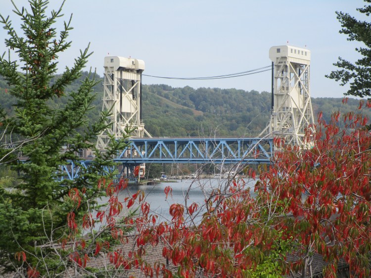
This is the bridge that connects the cities of Houghton and Hancock.
From a park in Houghton, we could see this view of Hancock.
We also saw several waterfalls on this trip. I’ll be posting them in the near future.
We were going to go up on Sunday and come home the next Sunday. We left early in the morning. The first evening we were up in Marquette and I got a text that we, the UAW, were going on strike at midnight. I had to come home three days early to do strike duty. I was a little disappointed because we didn’t get to see and hear (the singing sands) everything we wanted to. But, God has a plan. As we were heading back through Houghton / Hancock we ran into someone who desperately needed our help. For the sake of those involved, I can’t give details; but, because God put us in the right place at the right time, we were able to be of assistance. I am very thankful for this. Our God is a God of timing. He’s a God of Love and he’s a beautiful creator. Every state and country has something unique and special to offer. Every sunrise and sunset is different – and it keeps changing as the sun is setting! I feel truly blessed to have been able to see the things I saw.
Now, when I get asked if I’ve been to Copper Harbor, I can say “Yes! I have!”

No! But I want to go so bad
LikeLike
You might want to wait until after winter (unless you love lots of snow) but you definitely need to go!
LikeLike
Love all the photos, I was up there 2 years ago, I grew up in the UP, ,love it up there.
LikeLike
What a beautiful area to grow up in! The last three years I’ve been spending a week of my vacation time up there. The first year I ventured around the Marquette and pictured rocks area. The second year it was the Porcupine Mountains. This year it was the Keewenaw Peninsula – Copper Harbor. I haven’t decided where to go next year yet. Any suggestions on what I must see?
LikeLike
I grew up in Bergland, our two most popular places was Lake of the Clouds and Presque river, a lot of water falls on that river. We stay at the Presque isle campground. Victory Dam is a pretty place, fun hiking. We love to just drive through the forest, never know what you might find. Have fun.
LikeLike
I love the Presque Isle River. I did a post on it called “I found it! The Nonesuch Shale.” There was a sign up there that called it the Nonesuch Shale. I’ll have to look up Victory Dam. Sounds interesting. Thanks!
LikeLike